Ghent University studies urban micro-climatic differences within Ghent
Tuesday 20 december: Last weekend: grey, greyer, greyest
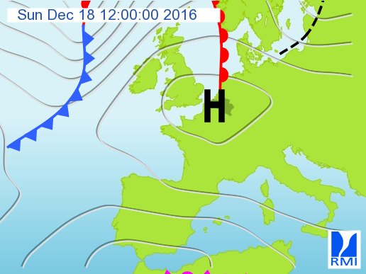
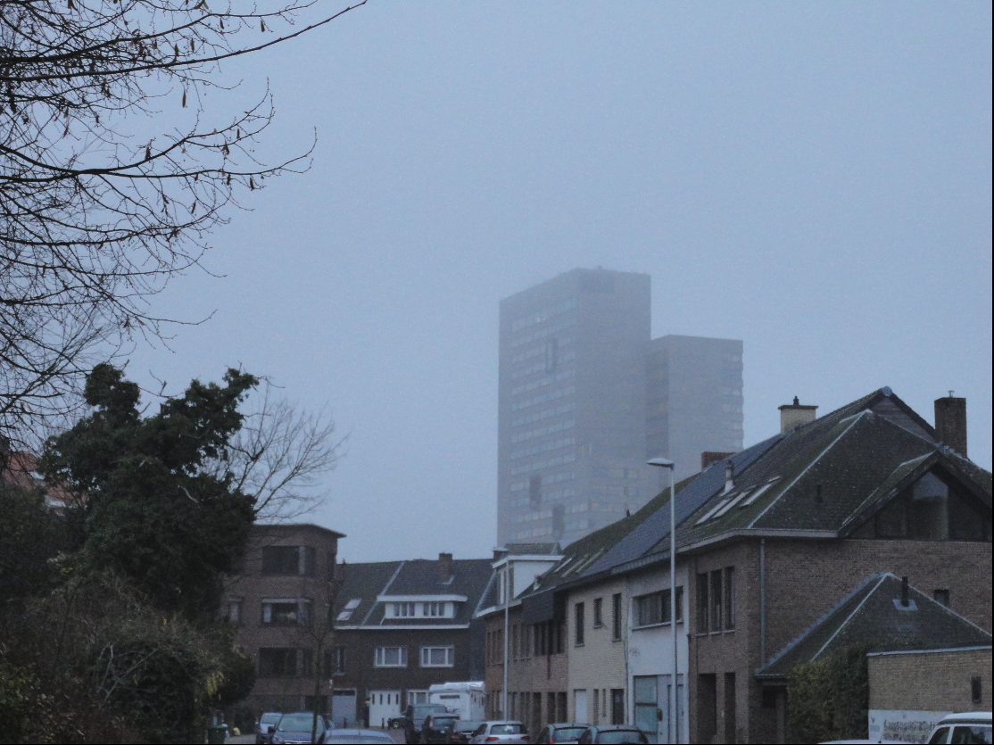
Last days the weather was not really exciting with the grey and foggy weekend as an excellent illustration. A high pressure region was situated over the Benelux countries (see weather map below). In summer such highs guarantee nice weather but in winter the resulting weather can be quite different. Below the high we did not only get very calm but also very humid conditions resulting in low clouds and even fog during the night and morning. Another adverse effect of such a very stable weather type forms the increased concentrations of particulate matter (see for more information about air quality ).
Left: RMI weather map for Sunday 18/12/2016, 12UT. Right: Gent on a foggy Monday morning 19/12/2016.
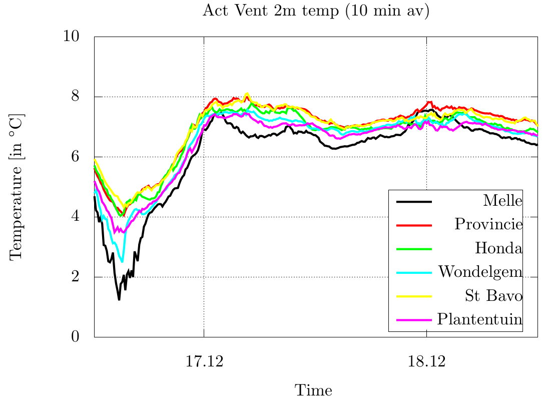
This weather type comes together with only limited in- and outgoing radiation and therefore the differences between the thermal properties of the surface are not too important. No surprise that there were merely temperature differences between the different locations. Even the daily cycle of the temperature was absent with maximal and minimal temperatures nearly identical. This type of weather that is quite common during the winter season forms the counterpart of clear conditions when we have a large daily cycle and significant differences between city and countryside.
Temperature evolution on 17/12/2016-18/12/2016.
But the weather configuration is changing. During the second part of this week low pressure systems coming from the Atlantic start to influence our weather with more wind and some rain.